The SDOH & Place Community Toolkit
Preface
The SDOH & Place Project Community Toolkit aims to increase the capacity for community and civic organizations in health to:
- Access and work with social determinants of health (SDOH) data (i.e., place/spatial data)
- Use place data for social good and to further health equity
- Develop engaging and compelling apps to inspire, activate, and retain users
- Work within an open ecosystem infrastructure
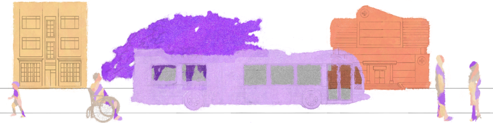
The SDOH & Place Project Community Toolkit connects equity principles with analysis and design of spatial visualizations for SDOH spatial data. This toolkit draws inspiration from the Robert Wood Johnson Foundation (RWJF) Commission’s findings, which assessed how communities’ health and life expectancy are affected by the places where they live. To address this issue, RWJF has previously created resources to promote health equity.
In order to identify and engage with the necessities of different social actors, the community toolkit is based on the principles of Human-Centered Design (HCD). HCD is a well-researched framework that ensures the potential users’ desires, abilities, and contexts are at the core of interactive systems and applications. HCD consists of four main steps: identifying users’ needs, designing for those needs, evaluating, and iterating. Inspired by HCD, the community toolkit is built upon an ongoing co-creation and evaluation process that leverages the collaborative efforts of various stakeholders, such as researchers, policymakers, and analysts.
Table of Contents
Currently, the community toolkit contains six modules. Depending on your project’s objectives, you can opt to undertake either one module or several of them. We recommend starting with Modules 1-3 regardless, and choosing your own adventure in subsequent chapters.
Module 1 Introduction Explores SDOH, equity, and types of visualizations. Led by Kamaria Barronville, José Alavez, & Marynia Kolak.
Module 2 Project Planning Guides users in identifying and formulating their visualization goals, recognizing potential stakeholders, and prioritizing health equity in their planning. Led by Kamaria Barronville, José Alavez, & Marynia Kolak.
Module 3 Human Centered Design Emphasizes the importance of user-centered design principles in spatial visualization and evaluates various engagement strategies with stakeholders. Led by Shubham Kumar & José Alavez.
Module 4 Spatial Data Wrangling Focuses on the integration of spatial data into projects, covering data-wrangling methods, technologies, and the role of coordinate reference systems (CRS) in spatial visualization. Led by Catherine Discenza, Yilin Lyu, Adam Cox, & Marynia Kolak.
Module 5 Research Design & Analysis Delves into the fundamentals of exploratory data analysis in the context of social determinants of health (SDOH). Led by José Alavez & Mandela Gadri.
Module 6 App Development Introduces users to multiple low or no-code applications for creating mapping visualizations. These open-source applications concentrate on four cartographic approaches for mapping SDOH: story maps, asset maps, thematic maps, and data dashboards. Led by Catherine Discenza, Adam Cox, Yilin Lyn, & Marynia Kolak.
Feedback
We welcome your input to make this toolkit better. Please submit via our contact form, or post an issue directly on the toolkit Github repository page.
Acknowledgements
Support for this toolkit was provided in part by the Robert Wood Johnson Foundation. The views expressed here do not necessarily reflect the views of the Foundation.
The toolkit team is housed at the Healthy Regions & Policies Lab at the Department of Geography and Geographic Information Science, at the University of Illinois at Urbana-Champaign.
As a land-grant institution, the University of Illinois Urbana-Champaign has a responsibility to acknowledge the historical context in which it exists. The University of Illinois Urbana-Champaign sits on the lands of the Peoria, Kaskaskia, Piankashaw, Wea, Miami, Mascoutin, Odawa, Sauk, Mesquaki, Kickapoo, Potawatomi, Ojibwe, and Chickasaw Nations. It is necessary for us to acknowledge these Native Nations and for us to work with them as we move forward as an institution. Over the next 150 years, we will be a vibrant community inclusive of all our differences, with Native peoples at the core of our efforts.